Our map collection
Each map is designed for reliability when digital tools fail. Printed on waterproof material, with detail verified by field researchers.
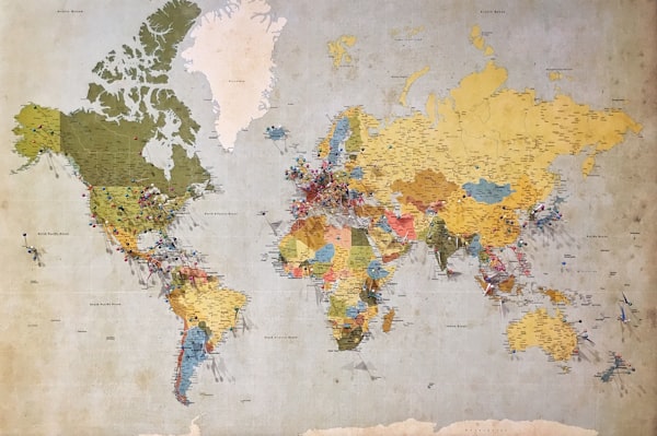
World Travel Map
Complete global reference with country borders, major cities, and transport hubs. Ideal for planning multi-country trips and understanding regional geography.
- Scale 1:25,000,000
- Major airports and transport links
- Time zone demarcations
- Physical and political boundaries
£24.99

Europe Discovery Map
Enhanced detail across 44 countries. Includes hiking trails, train networks, and ferry routes often missing from digital maps.
- Scale 1:4,000,000
- Major hiking routes marked
- International rail connections
- Elevation shading
£18.99

UK Explorer Map
From coastal paths to mountain ranges. Every national trail marked. OS grid references included for emergency services.
- Scale 1:625,000
- All National Trails marked
- OS grid reference system
- Mountain rescue post locations
£14.99

Custom Route Map
Send us your planned route, and we'll create a personalised map with your waypoints, notes, and emergency contacts pre-marked.
- Your specified scale
- Custom waypoint marking
- Personal notes included
- Emergency contact details
£34.99

Digital Map Bundle
Physical map plus downloadable high-resolution files for offline use. Works with GPS devices and offline map apps.
- Physical waterproof map included
- GeoTIFF files for GPS devices
- PDF version for printing
- Compatible with most offline apps
£44.99

Regional Trail Map
Focused coverage of popular hiking regions. Detailed elevation profiles, water sources, and seasonal access information.
- Scale 1:50,000
- Contour lines at 10m intervals
- Water source locations
- Seasonal closure information
£21.50
What's included with every map
- Waterproof synthetic paper construction
- Tear-resistant material rated for 500+ folds
- UV-resistant printing that won't fade in sunlight
- Quarterly update guarantee
- Free replacement if you find a cartographic error
- Detailed legend and scale reference
All maps ship within 48 hours of order confirmation. International delivery available.