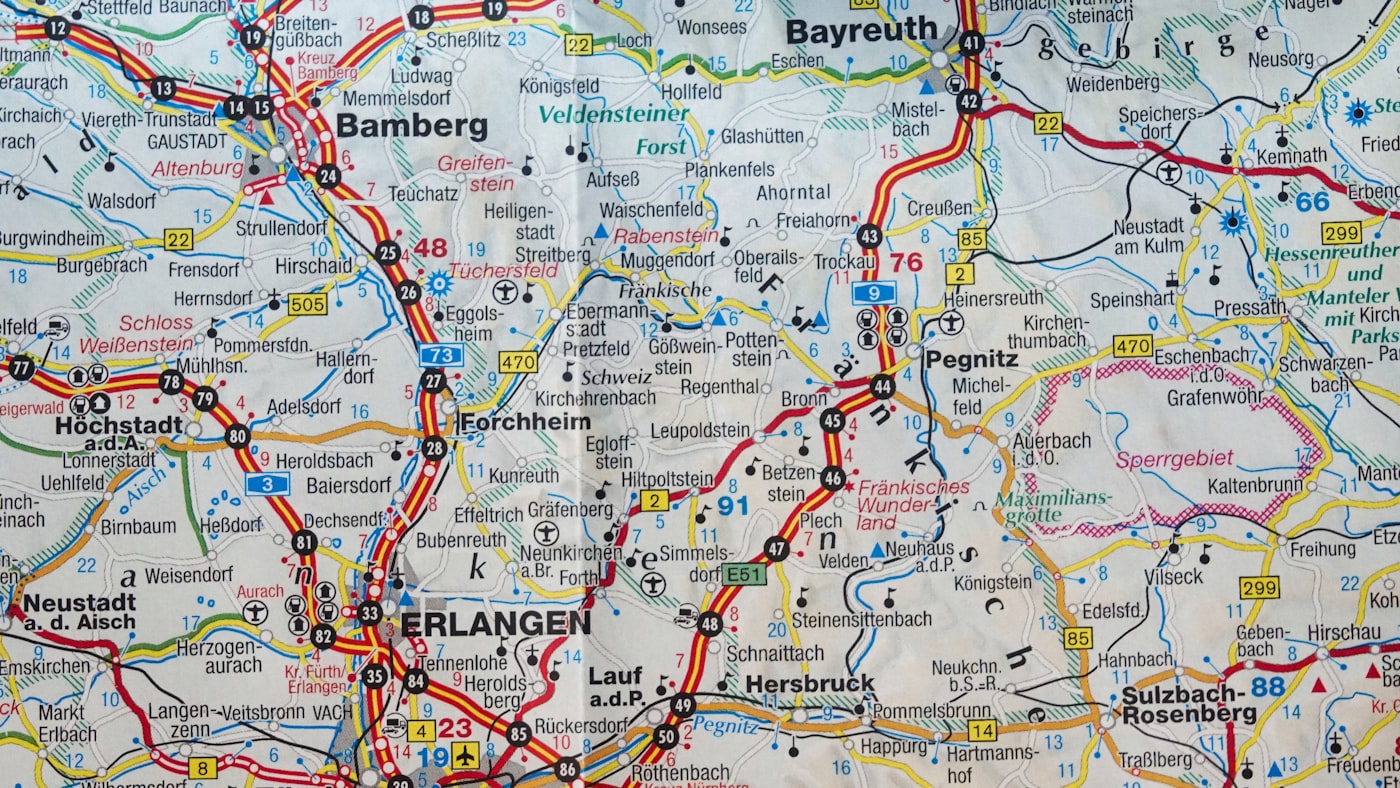
There's a moment every traveller recognises. You're standing at a crossroads—literal or metaphorical—and your phone battery is at three percent. The digital map flickers. The route vanishes. And suddenly, you're holding an expensive paperweight.
What if the tools that helped explorers navigate uncharted territories for centuries could still outperform the technology in your pocket?
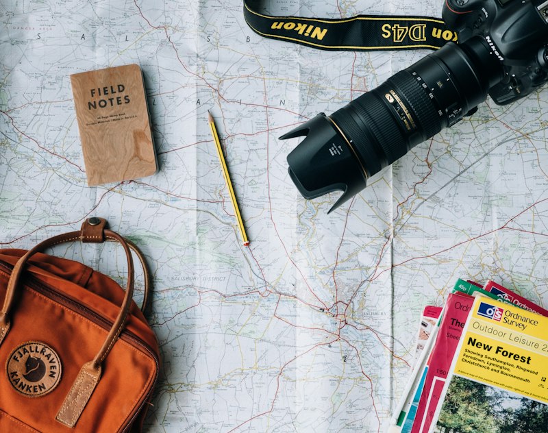
We've spent three years working with cartographers, expedition leaders, and long-distance hikers to create something different. Not a nostalgic novelty, but a practical tool that works when screens don't.
Why traditional maps failed modern travellers
The issue wasn't that paper maps were obsolete. The issue was that most of them were designed for car navigation in the 1990s, not for the way people explore today.
Too much highway detail. Not enough trail markers. Colours that bleed together under torchlight. Folds that split at critical junctions after two trips.
Meanwhile, digital maps assumed you'd always have signal, battery, and the patience to zoom in and out forty times to understand terrain.
What expedition leaders taught us
We interviewed 127 professional guides across six continents. The pattern was clear: they all carried custom-marked maps. Not because they romanticised paper, but because they needed information density that screens couldn't match.
One mountaineering guide in the Alps told us she could read elevation, weather patterns, and escape routes from a single glance at her map. "A phone makes you look down. A good map makes you look up."
"I've used GPS for fifteen years. I still carry paper maps. When you're three days from the nearest road, redundancy isn't paranoia. It's survival."
— Rebecca Thornhill, Expedition Coordinator
What makes our maps different
Every map we produce starts with satellite data and OpenStreetMap contributions, then gets enhanced by field researchers who've walked the routes. We mark water sources that apps miss. We highlight mobile dead zones. We include seasonal trail closures.
The paper itself is waterproof polymer. Not laminated—that cracks. Not treated—that wears off. The material is water-resistant at the molecular level, tear-proof under normal use, and folds back to original creases without degrading.
Tested in conditions that would kill your phone
We've had our maps used in:
- The Cordillera Blanca circuit in Peru
- Winter crossings of Iceland's interior
- Multi-day kayaking trips in Scotland's Outer Hebrides
- Solo cycle tours across Patagonia
Not one report of a map failing when it mattered.
"I dropped my phone in a river on day two. The map got me through the next five days without a single wrong turn. Bought three more as soon as I got home."
— James Patterson, PhotographerChoose your exploration map
Each map is printed to order, shipped within 48 hours, and comes with a lifetime replacement guarantee if you find a cartographic error.
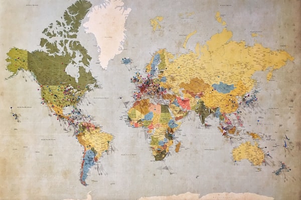
World Travel Map
Complete global reference with country borders, major cities, and transport hubs. Ideal for planning multi-country trips.
£24.99

Europe Discovery Map
Enhanced detail across 44 countries. Includes hiking trails, train networks, and ferry routes often missing from digital maps.
£18.99
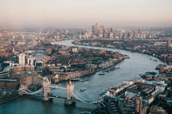
UK Explorer Map
From coastal paths to mountain ranges. Every national trail marked. OS grid references included for emergency services.
£14.99

Custom Route Map
Send us your planned route, and we'll create a personalised map with your waypoints, notes, and emergency contacts pre-marked.
£34.99

Digital Map Bundle
Physical map plus downloadable high-resolution files for offline use. Works with GPS devices and offline map apps.
£44.99
Request your map
Our maps are designed as navigational aids and should be used alongside appropriate training and equipment. While we maintain high accuracy standards, users are responsible for their own safety decisions. Terrain and conditions change; always verify current information before travel. Maps are not a substitute for professional guidance in unfamiliar or hazardous environments.